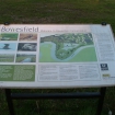
Welcome to Bowesfield Nature Reserve
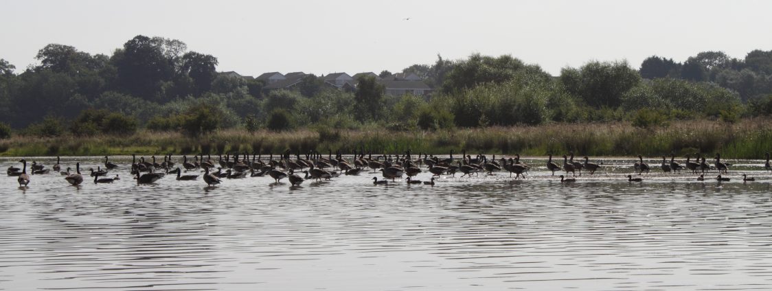
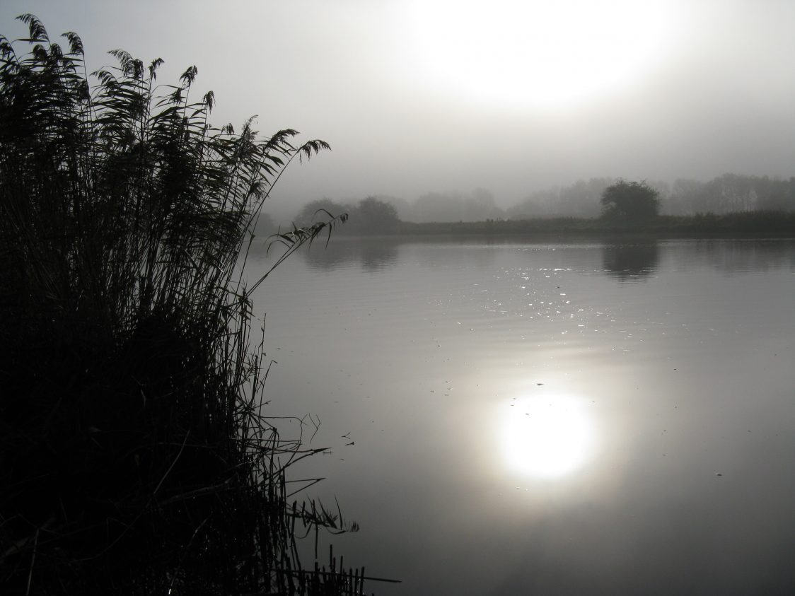
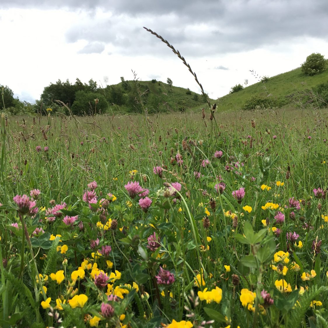
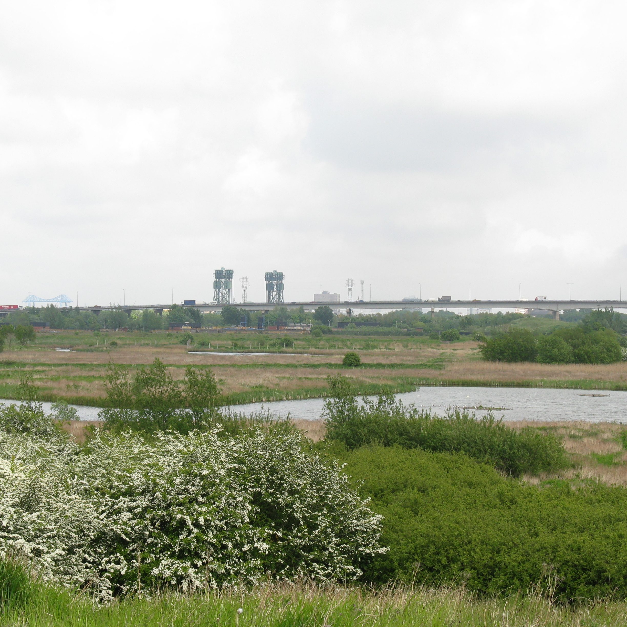
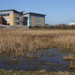
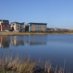
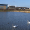
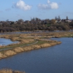
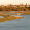
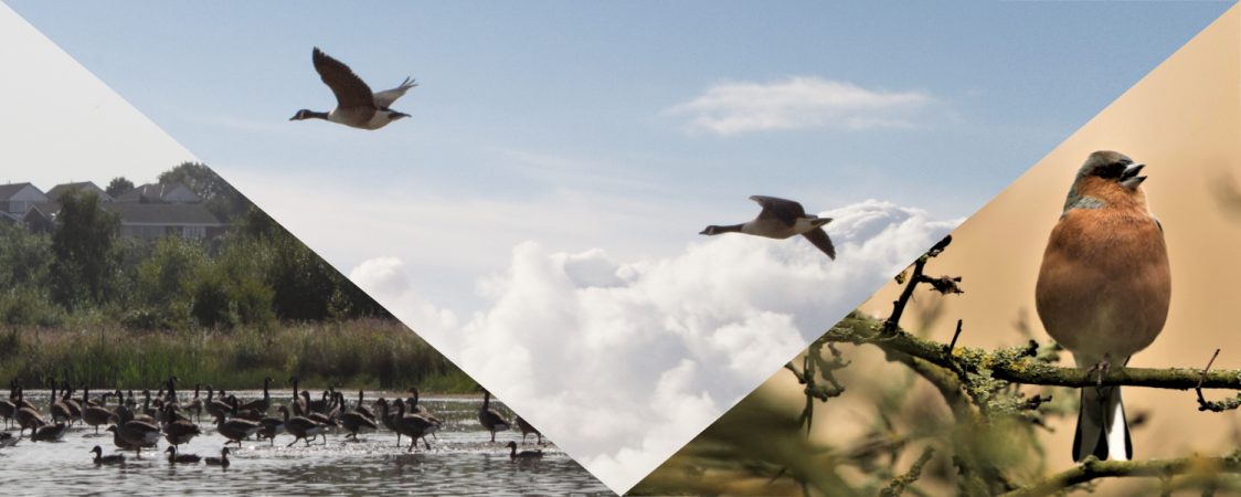
Bowesfield nature reserve lies within three loops of the River Tees. Each loop is notable for its own special character and wildlife, offering visitors three very different experiences. Starting from the car park next to Archers Law, you can enjoy surfaced paths around a series of lakes and pools, fringed with reed beds and offering sightings of numerous waterfowl. Heading west to the neighbouring loop, paths are unsurfaced and informal. Here you can watch waders feeding in the wet, muddy edges of a large shallow pool. Finally, visitors can walk to the next loop where a mixture of floodplain and wooded slopes offer songbirds, deer and wildflowers.
Facilities & Accessibility

Parking:
FREE parking is available on the unsurfaced area next to Archers Law.
What 3 words https://w3w.co/multiples.park.strutting
Alternatively, on-street parking is also available nearby. The bottom end of the car park is more liable to be muddy in wet weather. Alternatively, you can enjoy a visit to Preston Park Museum & Grounds and then follow the link path through to the western end of the reserve.

Toilets:
Unfortunately, there are no toilets available on site.

Accessibility:
The first loop in the river (eastern-most) is laid out to a network of surfaced paths and is the most accessible. If the main access from the car park is unmanageable, visitors can head out the top of the car park and bear right onto a surfaced path. Following this path round and keeping right, will shortly bring you to the main ponds. The middle loop, heading west, is accessed via unsurfaced paths across grassland. This is the least accessible part of the reserve and can be wet at times. The last loop, near Preston Park, has a tarmac mixed-use track at the top (north) of the reserve which can be accessed from Queen Elizabeth Way or Preston Park.

Dog Bins:
2 dog bins are available on the reserve – one near the car park at Archers Law and one on the far side of this first loop near the houses and river. We ask that all dog walkers behave responsibly and with due care to other visitors and the wildlife we all love to see. PLEASE KEEP DOGS ON A LEAD – CLEAR UP AFTER YOUR ANIMALS – DON’T DISTURB THE WILDLIFE BY LETTING YOUR DOGS LOOSE OR ALLOWING THEM TO PLAY IN THE PONDS. Thank you!

Slope
The reserve is fairly flat but has a slope along the northern edge that gradually increases in height the further west you go. This slope is most pronounced in the loop near Preston Park.

Paths
The easternmost loop is mostly laid to a compacted and bound gravel. Puddles do form after rain, but generally, these are not deep. We would advise correct footwear for outdoor activities, whatever the weather. There is an unsurfaced path that follows the Teesdale Way, parallel to the River Tees, around all three loops. This path can get very muddy in wet weather and some parts flood, due to the low lying and marshy nature of the habitat. Paths on the middle loop are unsurfaced. The Preston Park loop is a mixture of surfaced and unsurfaced paths, with a tarmac track along the northern edge.
More info
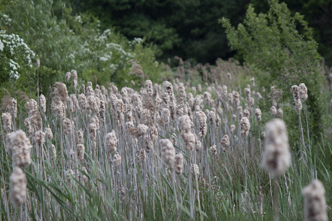
Most of the land here was in agricultural use until the Trust began to restore it for wildlife, beginning with the eastern loop in 2004. The Trust worked to re-establish the natural conditions, mixing open water and marsh, with patches of woodland and scrub. These now form a rich corridor of wildlife habitat for a mile along the river.
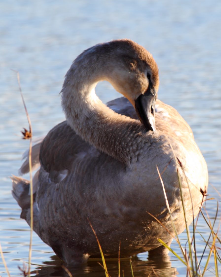
At Bowesfield’s easternmost loop, a network of surfaced paths and bridges allow visitors to explore three large reed-fringed pools. A longer footpath follows the riverbank and offers glimpses of birdlife enjoying a sizeable area of undisturbed wetland, as well as views over the River Tees. The reserve supports important numbers of ducks and wading birds including teal, curlew, gadwall, shoveler, ruff and golden plover. More than 100 different species of bird have been recorded.
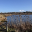
The middle loop contains a large natural pool, occupying one of the lowest points on the floodplain. Being very shallow, the margins of this pool expand and recede with the seasons. These fluctuations create perfect feeding conditions for numerous resident and migrant waders. Here you can sometimes see black-tailed godwit, little ringed plover and jack snipe.
The westernmost loop is a mixture of recently plated deciduous woodland, open rough grassland and some wetland pools and ponds. The new woodland is a fantastic mix of native broadleaf species and attracts many passerines such as blackcap whitethroat. Visitors might also spot roe deer who often move through this part of the reserve.
Nearby Nature Reserves
Gallery
