Welcome to Saltburn Gill SSSI Nature Reserve
Saltburn Gill is a wildlife-rich SSSI woodland set in a lovely secluded valley leading to the coast at Saltburn. A dense canopy of oak and ash trees shelter a winding path that runs the entire length of the valley and provides good opportunities to see all the reserve has to offer.
Facilities & Accessibility

Parking:
Some free parking is available within Saltburn, but the nearest car park at the sea-front end is at the pay-and-display car park at Cat Nab. Details can be found here.
Reserve entrance https://w3w.co/mindset.thrashing.perch
There is free parking at a layby off Saltburn Road towards Brotton, next to the playing fields. There is access to the reserve from the playing fields.

Toilets:
Unfortunately, there are no toilets available on site, however toilets are available next to the Cat Nab car park.

Accessibility:
Access through the reserve is via public right of way footpaths. These are sometimes narrow and mostly unsurfaced with occasional rocks and roots. There are numerous steps throughout. Care should be taken and sturdy footwear worn. Due to the natural topography, there is no access for anything other than foot traffic.
Dog Bins:
There are no dog waste bins on the reserve. Bins can be found in Saltburn and at the playing fields near the Brotton exit of the reserve. KEEP DOGS ON A LEAD – CLEAR UP AFTER YOUR ANIMALS – DON’T DISTURB THE WILDLIFE. Thank you!

Slope
There are some steep flights of steps within the reserve where paths have to go over topographical features. These do not go on for long and allow for interesting new views of the wooded valley.
Paths
Paths are generally unsurfaced and uneven. A bridleway bisects the reserve across the valley. There is no access to non-foot traffic (mountain bikes, for example) on the footpaths.
More info
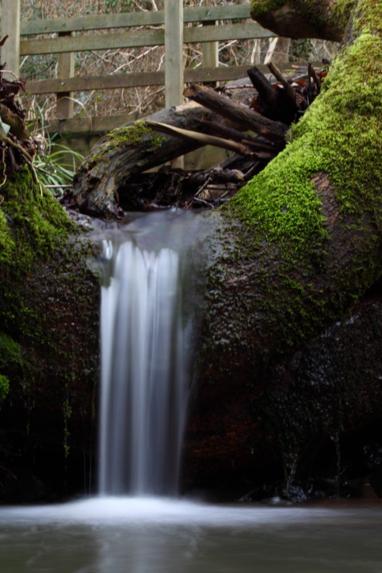
Saltburn Gill has largely remained undisturbed since the time of the great forests and shows a fine example of the type of woodland that would once have covered East Cleveland. A mix of oak, ash, hazel and holly cover the steep sides of a valley carved by the fast-flowing waters of the Gill and its two tributaries; The Griff and Darn Bottle.
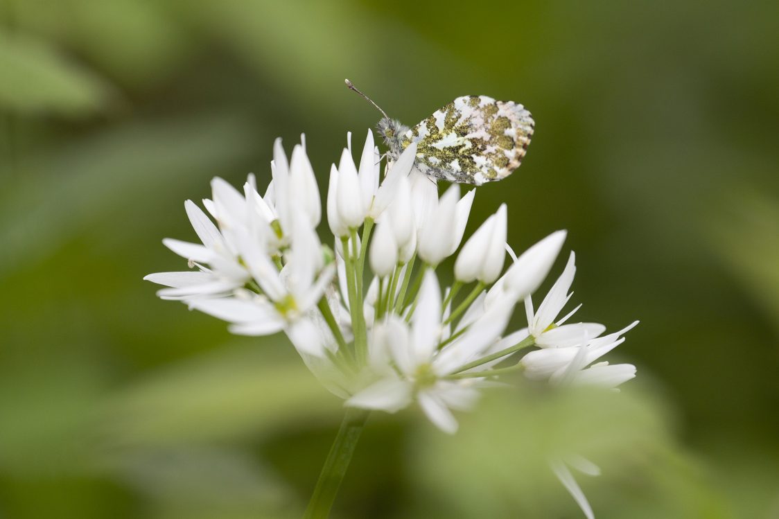
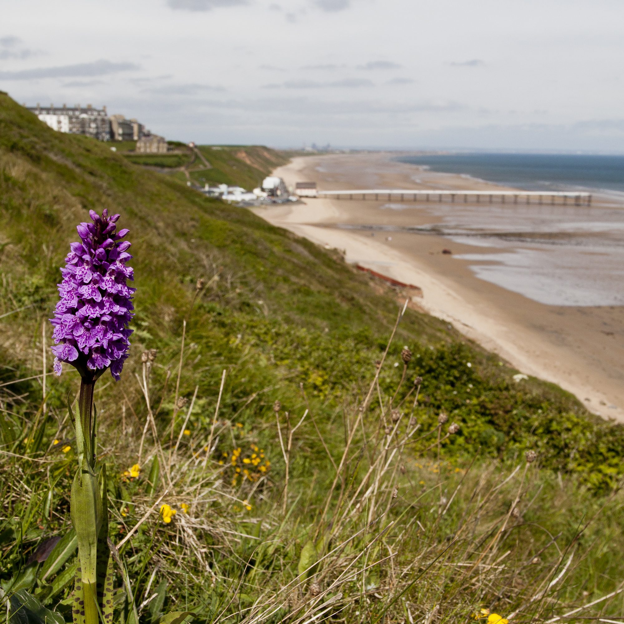
In spring, showy yellow flowers of lesser celandine are shortly followed by carpets of strong smelling wild garlic and bluebells. Other plants to look out for include dog’s mercury, woodruff, bugle, moschatel and wood avens.
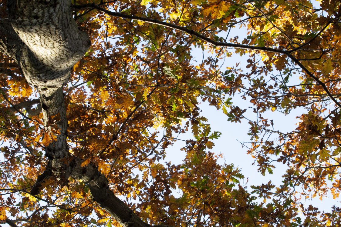
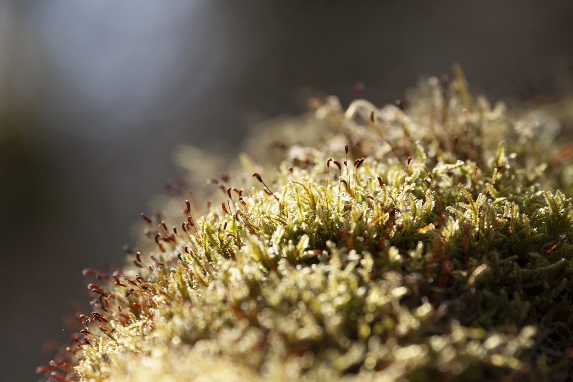
Thanks to its steep valley-sides, Saltburn Gill escapes the ravages of the winter wind, and in the summer when cooling breezes blow in off the North Sea, the reserve remains still and humid. With conditions like these, the woodland provides a refuge for primitive plants like fungi and ferns. Even after the summer flowers have died-back and the golden autumn leaves have fallen from the trees, Saltburn Gill is still worth visiting to spot fungi, or ferns with strange-sounding names like hart’s tongue, hard-shield, broad-buckler and male fern.
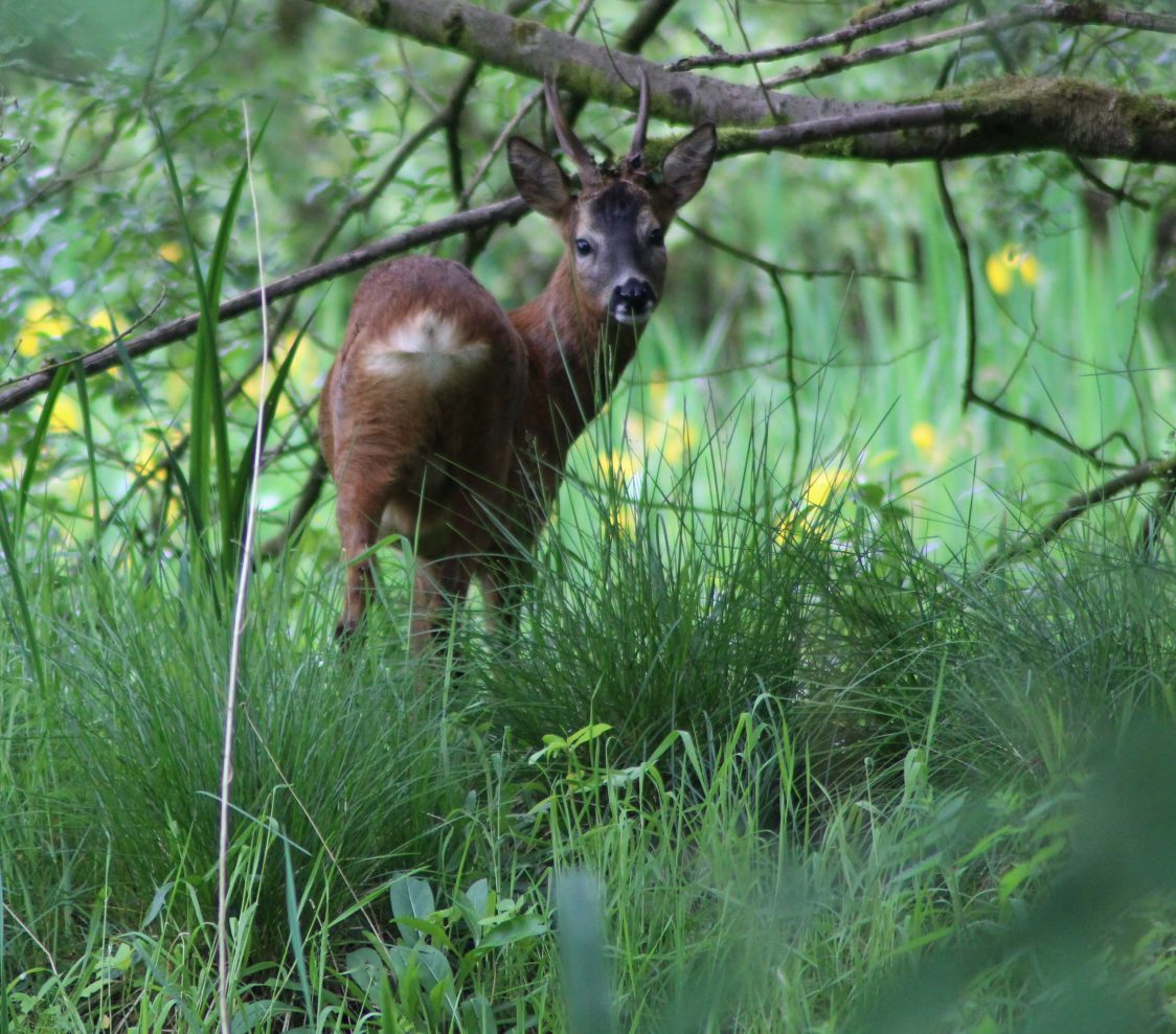
The woodland supports resident birds such as robin, blackbird and wren, which are joined by seasonal visitors such as chiffchaff and spotted flycatcher.
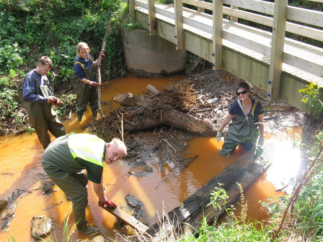
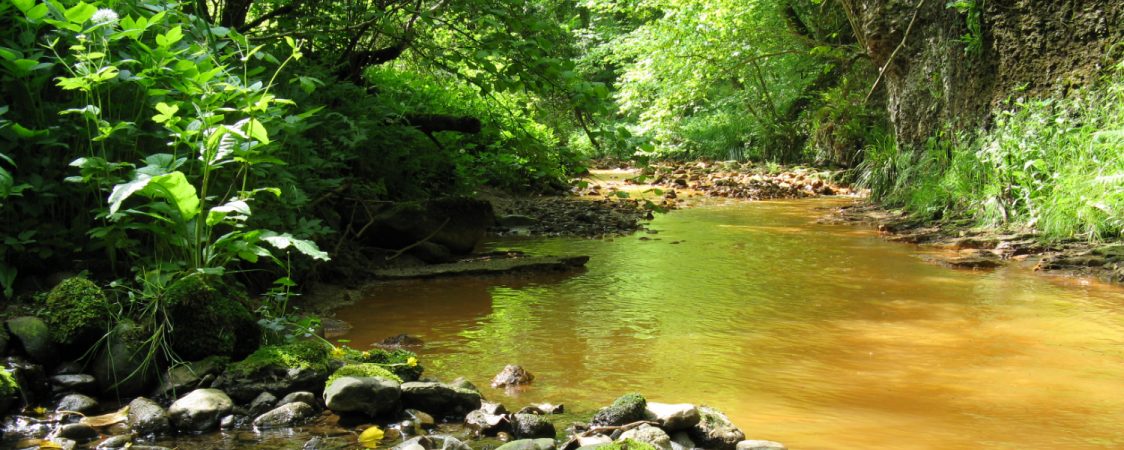
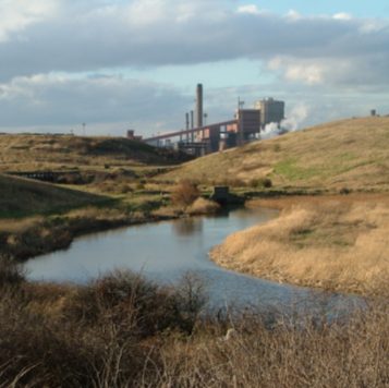
Saltburn Gill- the Orange River
The river flowing through the reserve also goes by the name of Saltburn Gill. Until recently, the river looked bright orange, the result of groundwater coming up through old ironstone workings. This was a significant industry in the area until the 1950’s and, having lapsed into disuse, had gradually filled with water.
Beginning in 1999, a new discharge from the abandoned workings flowed into the river and turned it a rust colour. The water is not toxic but contains high levels of dissolved iron; smothering it to such an extent that wildlife would struggle to survive. It also flowed out into the sea and threatened the Blue Flag status of the beach.
In 2005, the Saltburn Gill Action Group (SGAG) was set up to find a solution to the iron discharge. With support from Teesside University, the Environment Agency and the Coal Authority, a long-term solution has been found. It involves pumping groundwater away from the discharge point.
There have been significant improvements since and work to filter the groundwater discharge is ongoing. It was such a surprise to see how quickly the river reverted back to its natural appearance. It has been fantastic to watch the gill gradually restore itself and for wildlife to return.
Nearby Nature Reserves
Gallery